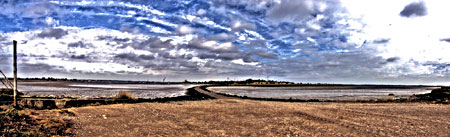
Battle Site Pictures
The site of the battle of Maldon lies to the east of the town:
-
GB OS Map Reference: TL 870 059
-
Global Lat./Long: 51 43' 14'' N / 00 42' 28'' E
It is on the land around South House Farm, and a footpath leads from near the telephone box on the B1018 to Northey Island - there is no access for cars. The Island is owned by the National Trust and is a bird sanctuary.
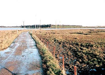
The photo below shows the road leading down to the causeway to Northey Island.
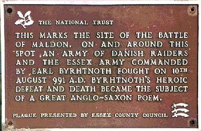
The plaque marking the battle site:
And the causeway to the island with the water just covering it can be seen below in the still water on the left:
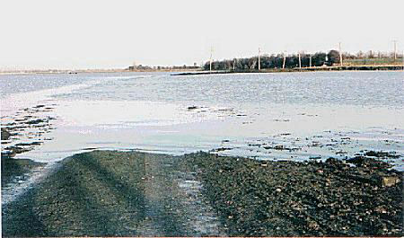
The dramatic photo below of the causeway uncovered at low tide was taken by Chris Richards-Scully